A reference web tool for territories in transition
Co-developed with the territories, TerriSTORY® is an educational and decision-making tool that allows the visualisation of multi-thematic data (energy, climate, economy, etc.). It was created in 2018 in Auvergne-Rhône-Alpes, on the initiative of the Auvergne-Rhône-Alpes Energy Environment Agency (AURA-EE) and with the support of the Auvergne-Rhône-Alpes Region and ADEME.
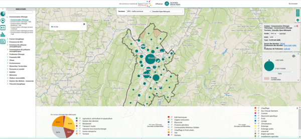
Thanks to a dynamic and interactive visual interface, TerriSTORY® helps to understand the territory, identify its potential and the priority action levers. On the basis of this analysis, the tool simulates prospective scenarios, by measuring their socio-economic and environmental impacts, in order to build a territorial path that meets the challenges ahead.

A website accessible to all
- Easy to use, terristory.fr is accessible to all.
- As a support for territorial animation, it allows to organise in an educational way the dialogue between stakeholders within a territory in a shared territorial project logic.
- Evolutive, TerriSTORY® is regularly updated with new data sets and new functionalities
TerriSTORY in 2 minutes!
TerriSTORY® : A multi-regional dynamic
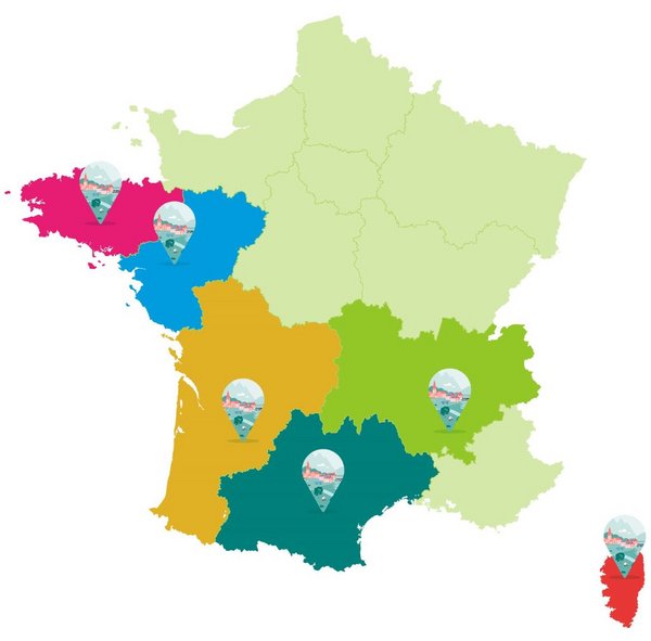
A tool "made in Auvergne-Rhône-Alpes", TerriSTORY® is now present in 6 French regions and is becoming a reference tool at national level.

And a multi-stakeholder governance

Bringing together a number of partners, the project is supported by the Auvergne-Rhône-Alpes Region, the Nouvelle-Aquitaine Region, the Occitanie Region, the Pays de la Loire Region, the National Agency for Ecological Transition and the European Commission.

The multi-partner governance of TerriSTORY® provides a concrete response to the challenges of harmonisation and aggregation of multi-level objectives.
It facilitates the deployment of TerriSTORY® in other regions and favours the mutualisation of means for the development of new functionalities as well as the provision of more and more data.
[Updated on February 2024]


Imprimer